October 6th, 2025
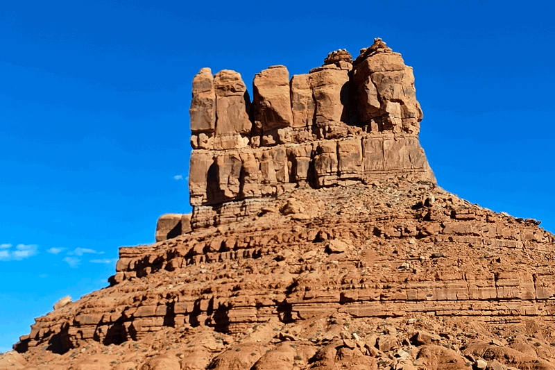
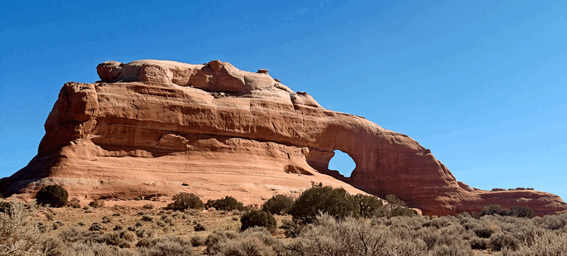
We said “so long” to Moab and began the drive pretty much due south. On our way we passed Wilson Arch:
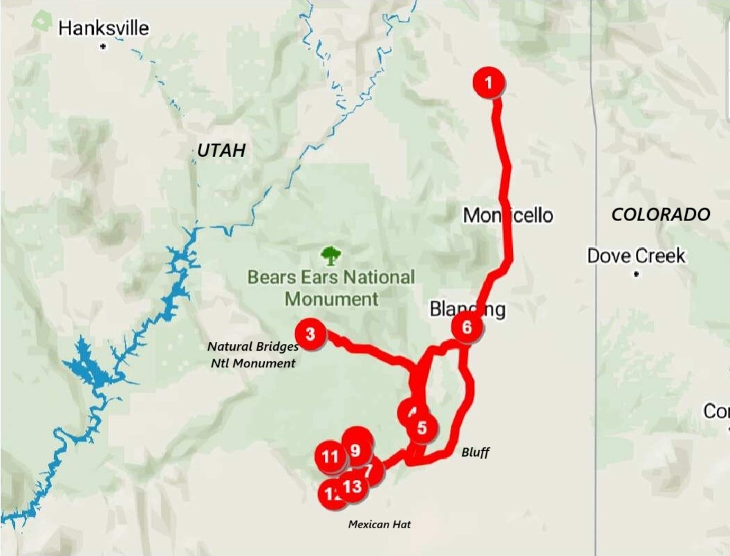
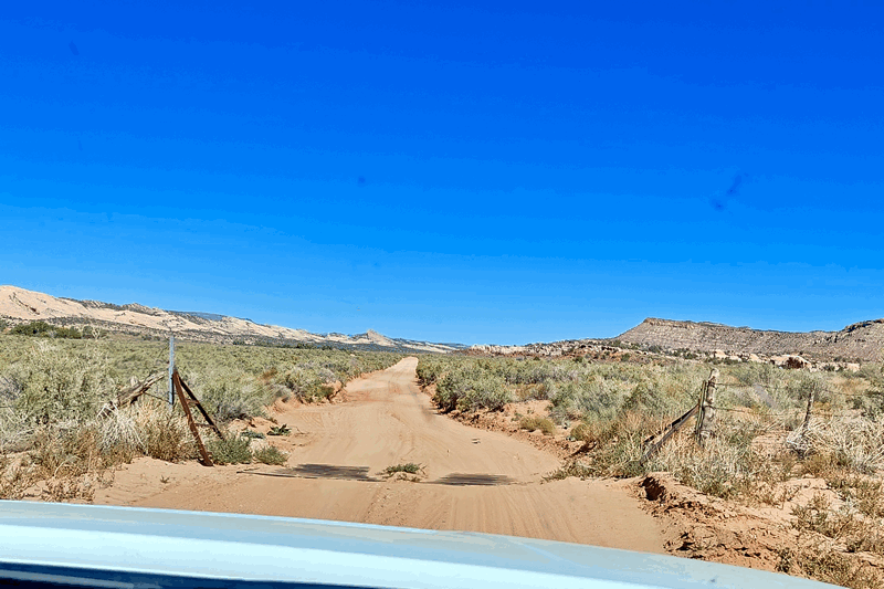
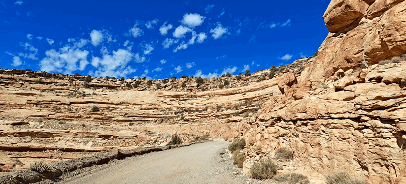
 Today we wanted to do a bit more off roading – not as intense but didn’t want to take the trailer. We headed to the Needles Overlook Road, dropped the trailer at the info sign parking area at the intersection with the Hwy 191 and continued on without it for a couple of hours.
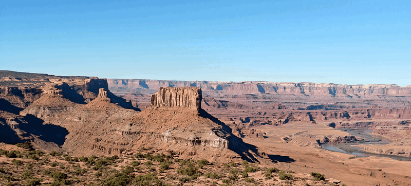
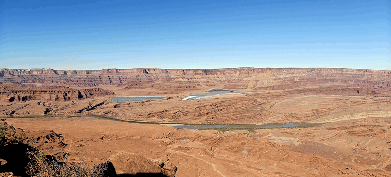
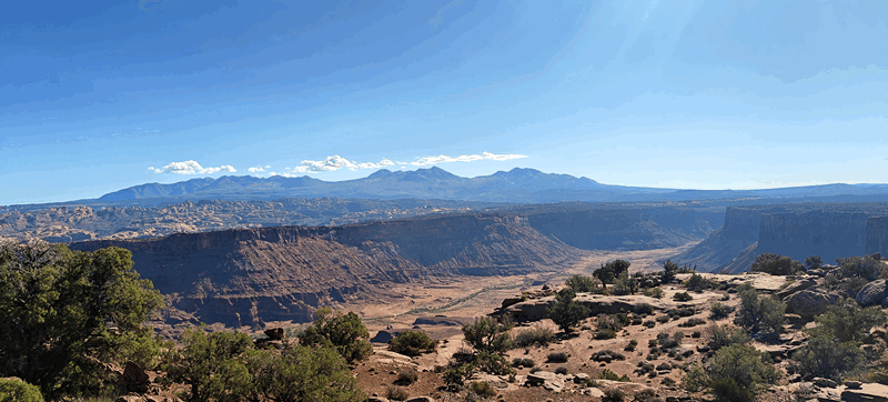
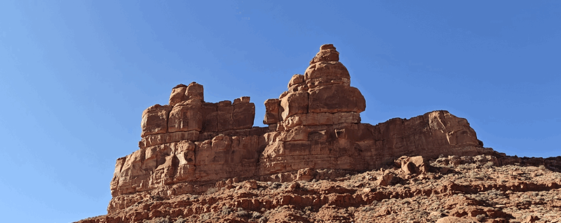
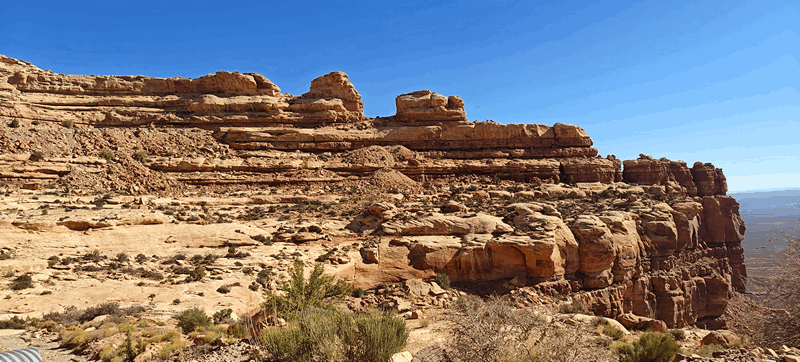
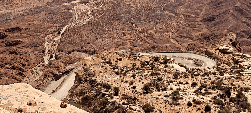
First road was the Anticline Road (rated a 1 difficulty, 10 scenic) which was a good gravel road that of itself was not that scenic until you get near the end. We stopped at Minor Overlook:
before reaching the end at the main viewing area.
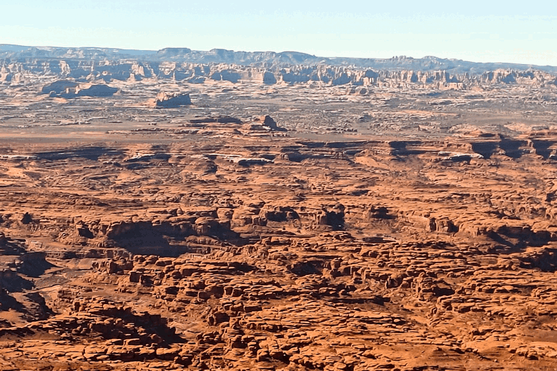
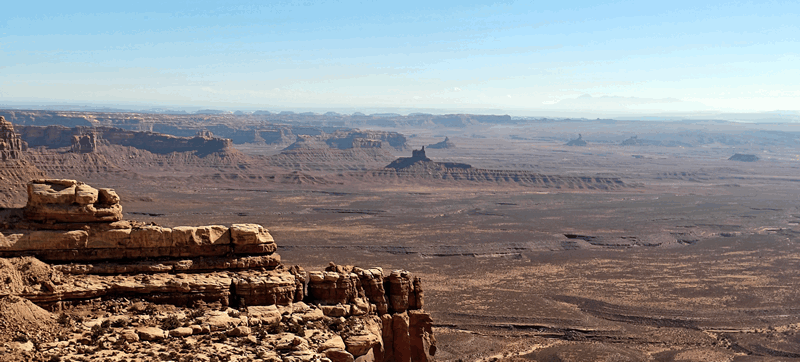
Here you can see the Hurrah Pass road, Chicken Corners, the Potash Ponds and so much more.
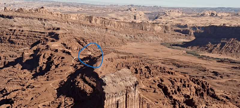
This photo shows the top of the Hurrah Pass:
On the way back down the road, we saw Wine Glass Arch (not really visible on the way up here) and then when hitting the pavement again, we turned right to get to the Needles Overlook.
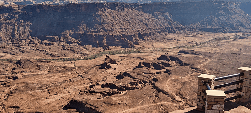
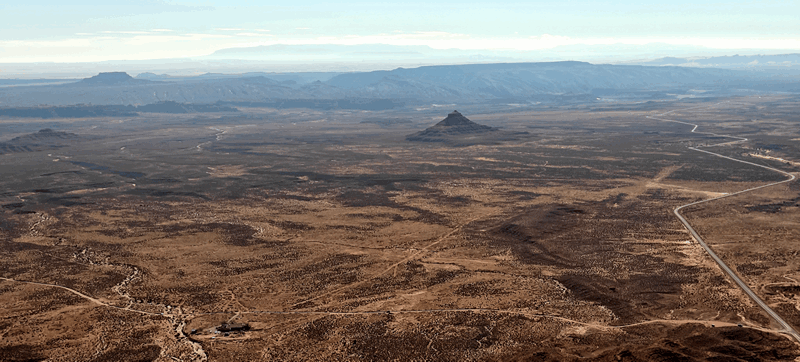
The Needles is one of the three districts within Canyonlands National Park; Islands in the Sky is the main one where the White Rim Road and Shafer Trailer are located and The Maze is the third district – considered the most remote place in the lower 48. We were there twice years ago; once with our Jeep tent camping and once with Tigger.
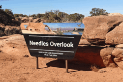
So at this overlook you get a view of the Needles in the distance and Indian Creek Wilderness area in the canyon.
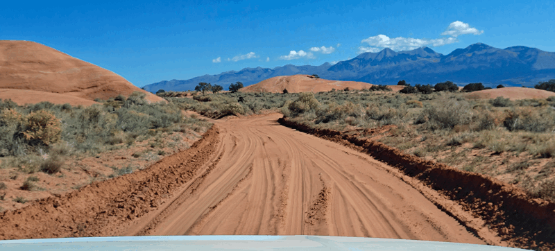
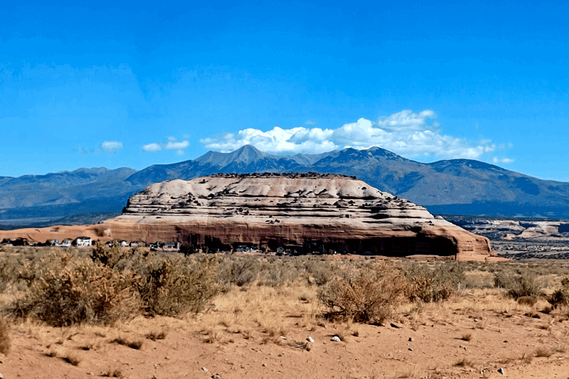
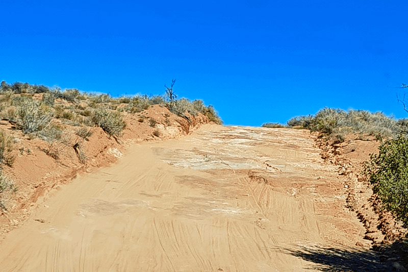
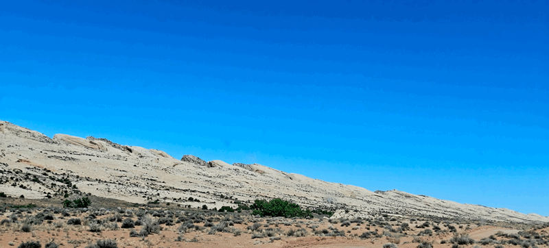
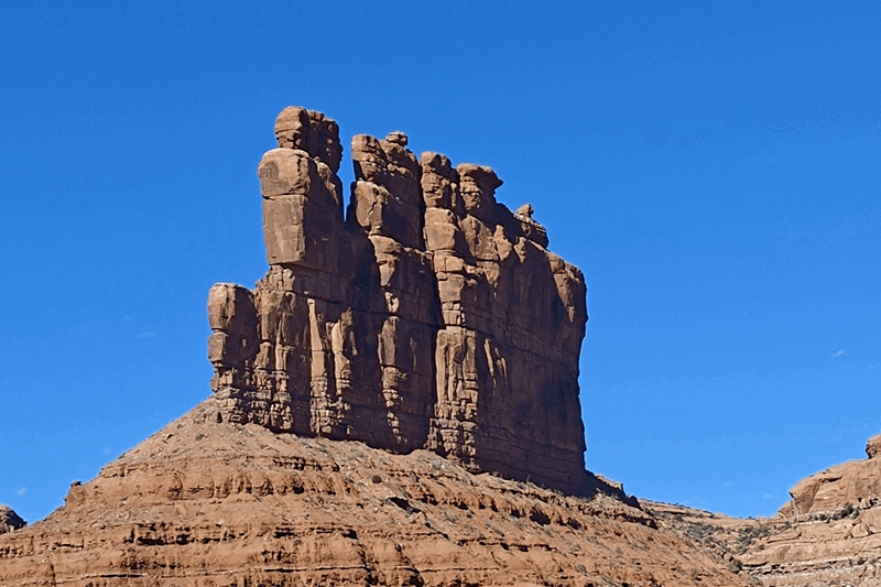
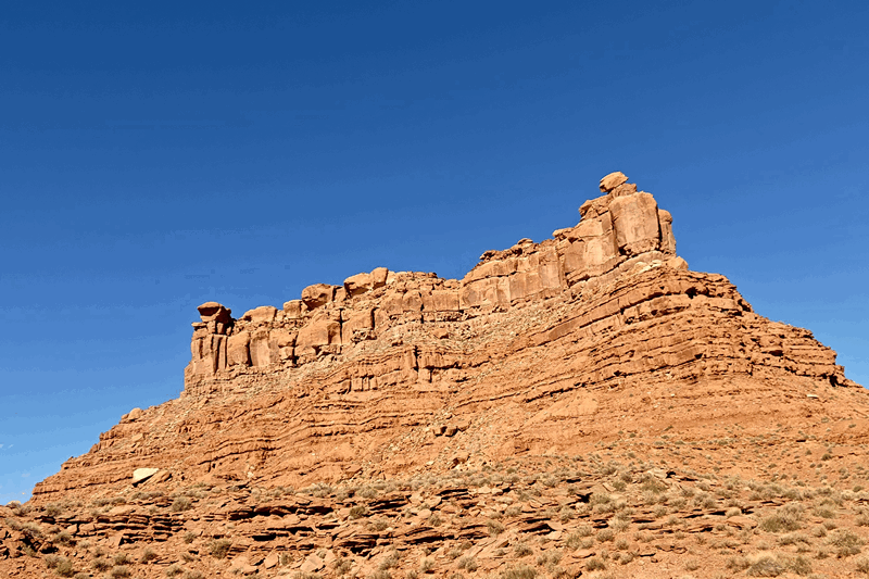
We returned to the Anticline Road where we took the first dirt road off it which is Eightmile Road – this is a difficulty 2, scenic of 8. The roads starts mostly sand but not deep sand:
 with mounds of sandstone here and there.
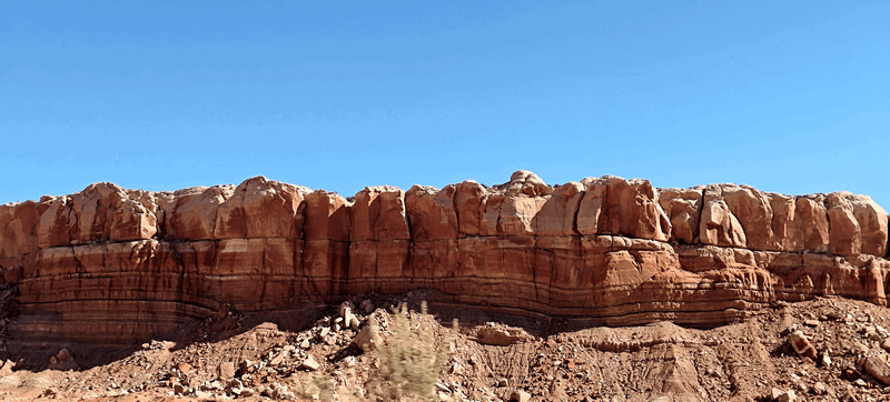
It continues on over a few dry creek beds passing Hatch Rock where the “Rocklands Ranch” community is located:
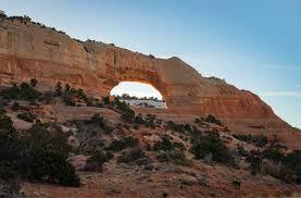
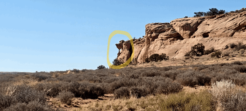
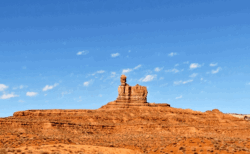
Near the end of the road, you come upon Looking Glass Rock & Arch:
We’ve been here a few times too; in fact camped here years ago. As the weather continues to be sunny, the pics of arches look awesome.
Then it was back to the trailer where Doug hitched it back up while Fran made breakfast. We decided to push on to the town of Blanding about 60 km / 40 mi further south to a wild camp on the edge of town figuring we’d get a better cell signal there (of course!) and we did.
It’s a quiet wide street with no “no parking” signs and little traffic.
Since it was still early afternoon, Fran found a laundromat and got that chore caught up before we relaxed for the rest of the afternoon.
This will be the link to take you to more photos of the above.
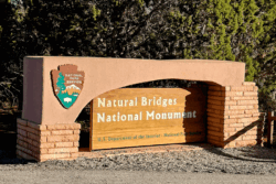
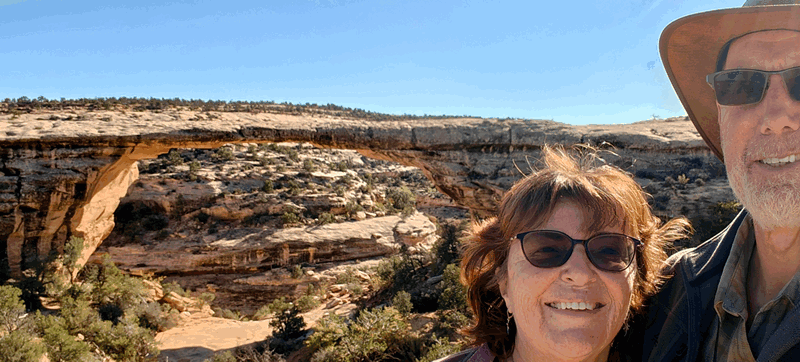
After morning exercise and tea/coffee the next day, we got in the truck and headed west (without the trailer) and went to visit Natural Bridges National Monument. This is open 24/7 regardless of the Government Shutdown so the only difference is the Visitor’s Centre will not be open. This was a 73 km / 45 mi drive on the mostly empty paved UT 95 highway.
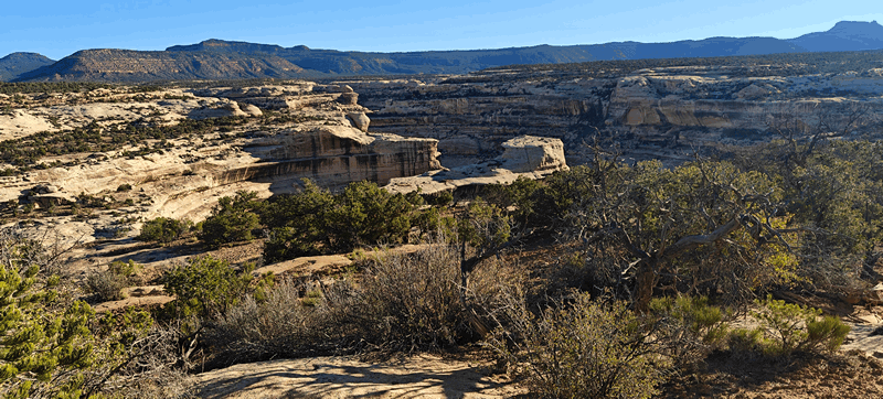
 The park was pretty empty; we could see a few RV’s in the campground from the road and we were mostly only accompanied by a couple of people at each lookout. There are three natural bridges to see here.
A natural arch, natural bridge, or (less commonly) rock arch, is a natural landform where an arch has formed with an opening underneath. Natural arches commonly form where inland cliffs, coastal cliffs, or stacks are subject to erosion from the sea, rivers or weathering processes.
Most natural arches are formed from narrow fins and sea stacks composed of sandstone or limestone with steep, often vertical, cliff faces. The formations become narrower due to erosion over geologic time scales. The softer rock stratum erodes away creating rock shelters, or alcoves, on opposite sides of the formation beneath the relatively harder stratum, or caprock, above it. The alcoves erode further into the formation eventually meeting underneath the harder caprock layer, thus creating an arch. The erosional processes exploit weaknesses in the softer rock layers making cracks larger and removing material more quickly than the caprock; however, the caprock itself continues to erode after an arch has formed, which will ultimately lead to collapse.
The choice between bridge and arch is somewhat arbitrary. The Natural Arch and Bridge Society identifies a bridge as a subtype of arch that is primarily water-formed. By contrast, the Dictionary of Geological Terms defines a natural bridge as a “natural arch that spans a valley of erosion.”
Before you arrive at the first bridge viewpoint, there is a viewpoint where you can see into the canyon above the bridges:
 (here we did see a Park Ranger’s truck so some employees are around…).
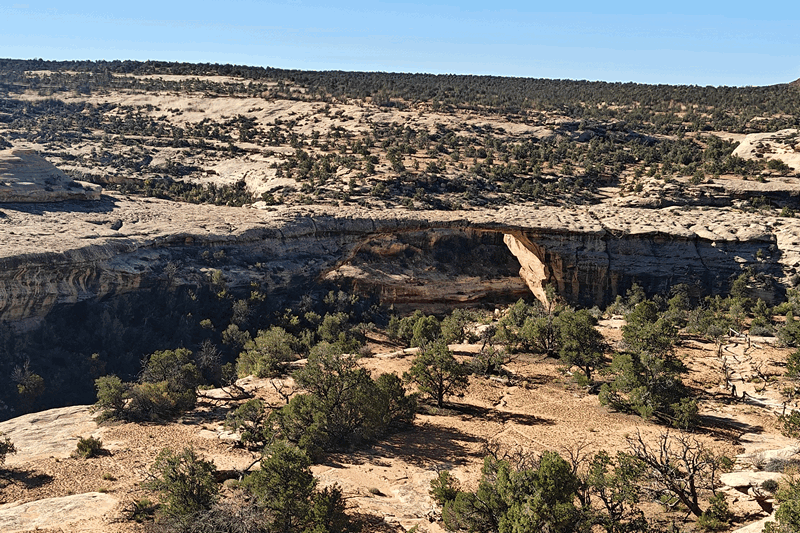
The first bridge, Sipapu, has two lookouts and we went to both as you get to see it from both sides. The first spot is right on the park’s 15 km / 9 mi one way loop road and you see it from a bit of a distance:
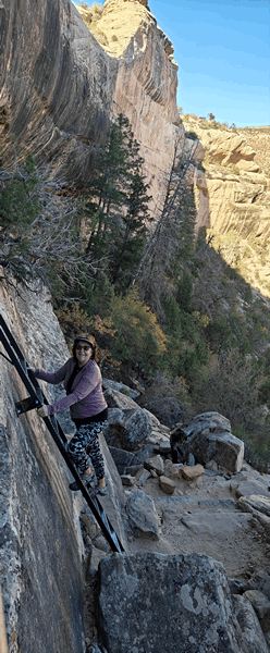
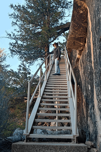
Then it was on to the other viewpoint of Sipapu where you hike down about .6 km / .4 mi to a viewpoint on with a view to the other side and if you so choose, you can walk all the way down. There is a hike that connects all three bridges along the creek that is 10 km / 6 miles long.
We took the trail down only as far as the viewpoint and it was an awesome view:
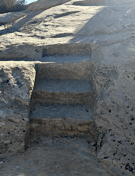
The trail includes a metal staircase, a metal ladder and as well as stone and wooden stairs.
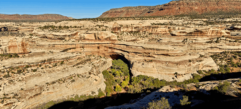
We then drove on to Kachina Bridge that has a short concrete boardwalk to a look out. At this time of day you cannot see through to the other side as the sun is in the wrong position and the underside of the bridge is covered in trees. This bridge is still being formed:
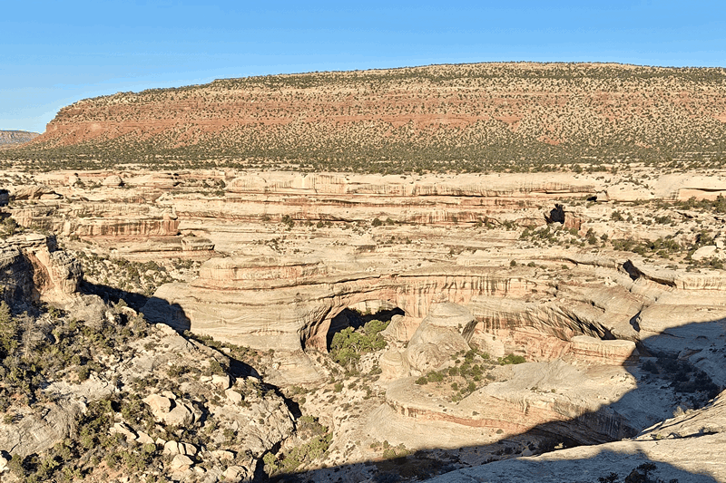
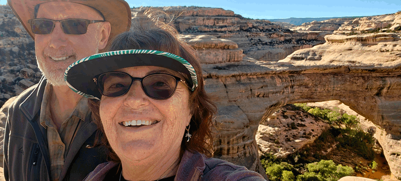
The third bridge was the most impressive: Owachomo. There is a boardwalk to the viewpoint and a trail down about .4 km / .25 mi to a better viewpoint.
From the main viewpoint you see this:
and when you go down the trail, we saw this:
This was a nice visit – we’ve only been here once before – about a dozen years ago when we did camp here – this park was one of the first official “dark sky” locations in the US. This week would not have been great for that as last night was a full moon. But it is an amazing place to enjoy the sky if you can.
For more photos of this national monument, click here.
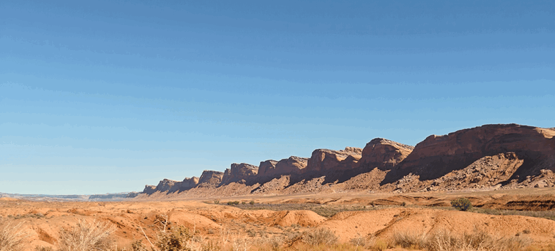
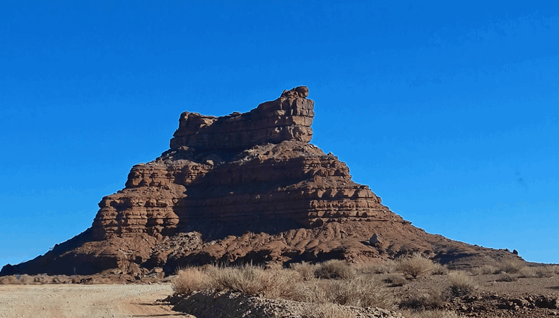
From here we returned eastward and did two dirt roads before getting back to Blanding. We turned south down Comb Wash Road (rated a 2 difficulty, 9 scenic) and we took that 28 km / 17.4 mi road all the way down to the UT 163. It was fairly easy, lots of sandy sections but nothing too deep.
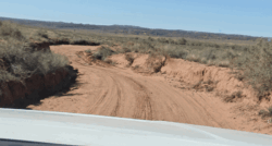
The road follows the Comb Ridge which looks pretty impenetrable and as the sky continues to be clear for us, it was a lovely drive.
Upon reaching the UT 163, we turned eastward and shortly reached the Lower Butler Wash Road which we took north back to UT 95. This is a 32 km / 20 mi road with sandy and rocky sections which surprised us as it’s rated a 1 in difficulty and 10 in scenery. The scenery was better than the previous road but we have seen better tens.
we often see these cattle guards on this type of road
cool rocks 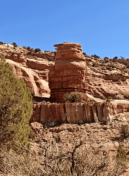
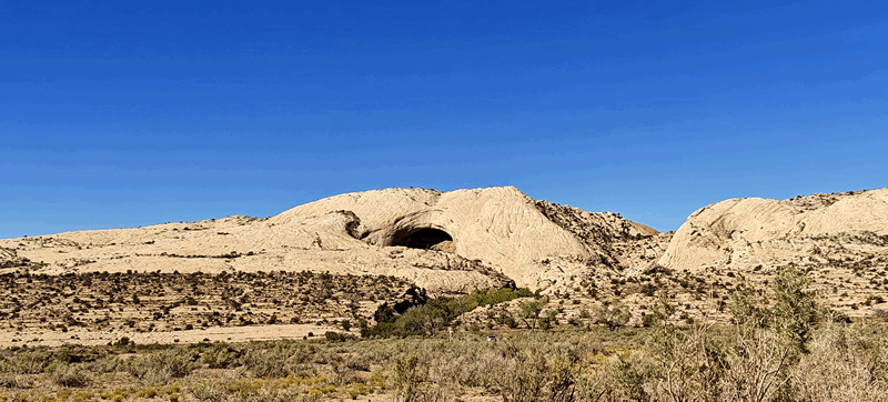
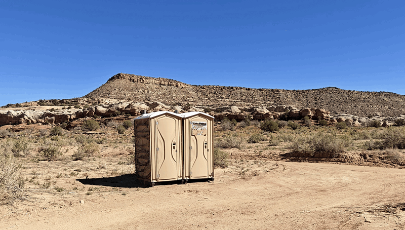
We stopped for our lunch about ¾ of the way up the road near a cave in the swell and there just happened to be an porta potty.
We then made our way back to Blanding stopping at the trailer to get our laptops before filling up the tank and going to the local library for a couple of hours of free Wi-Fi. Doug hitched the trailer back up and we had second quiet night on the street on the edge of Blanding.
This link will take you to more photos of the offroad driving we did.
Next morning, we headed to the local rec centre and again got $6 showers. The place was pretty empty and we pretty much had the place to ourselves. The showers were hot and had good pressure – Yeah!
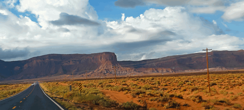
Today we continued south past Bluff:
We’ve been to all three of the below sites before but it’s been years and they are definitely worth it!
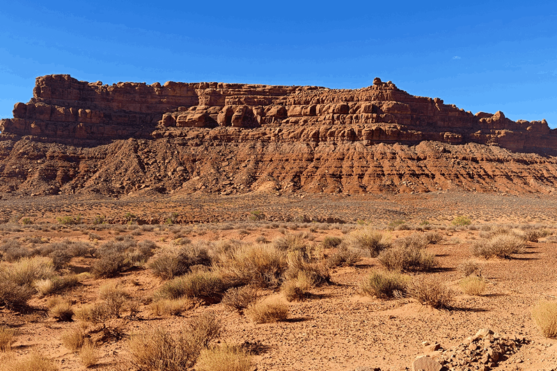
On to the Valley of the Gods – this is a mini Monument Valley on federal lands and it’s free.
We left the trailer at the other end of the road and entered the lands.
It was a 28 km / 17 mi road through some awesome sandstone mesas, buttes and sandstone formations:
We saw the Sitting Hen:
The Rooster:
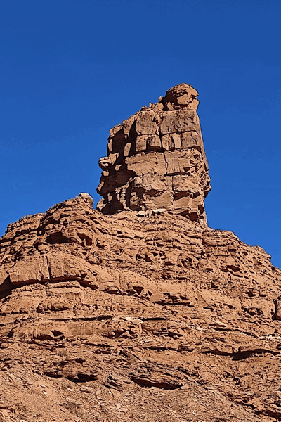
Battleship Rock:
 De Gaulle and his Troops
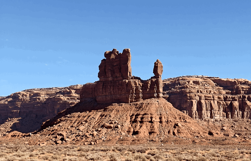
Castle Butte
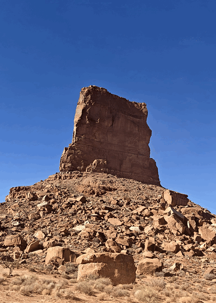
Rudolph & Santa Claus:
two unnamed “peaks”
and the Lady in the bathtub:
For more photos of The Valley of the Gods, click here.
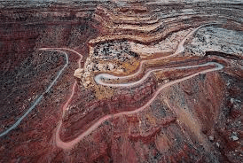
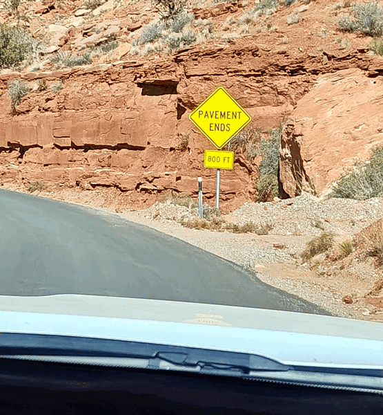
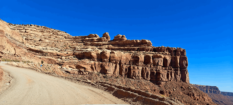
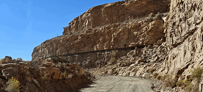
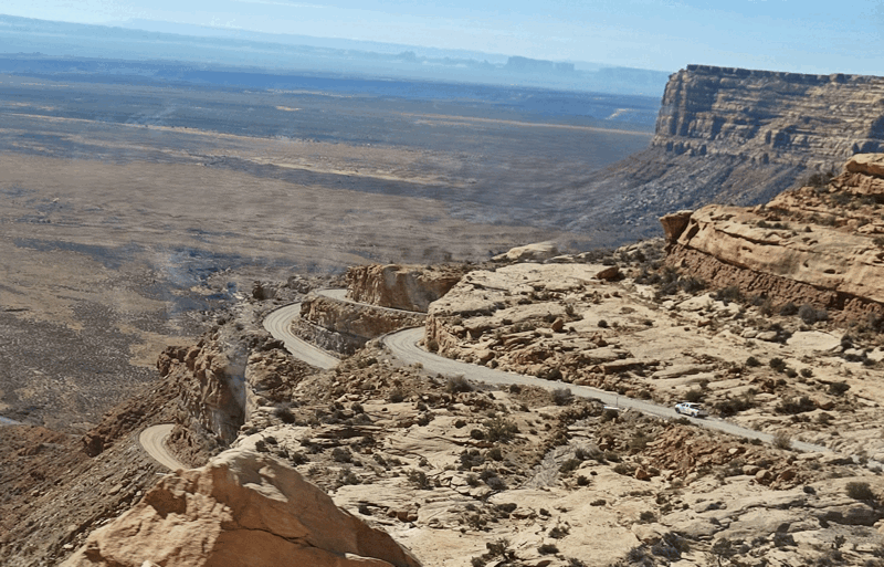
At the end of the park road, you hit pavement on Hwy 261 and drove the gravel switchbacks of the Moki Dugway to Muley Point overlook.
It was constructed in the 1950s by mining company, Texas Zinc, to move uranium ore from mines to a processing mill. It features: three miles of graded, unpaved, an 326 m / 1,100-foot climb with an 11% grade with no guardrails or paved sections. There are spectacular views of the Valley of the Gods and Monument Valley up the overlook. Here’s a view from above:
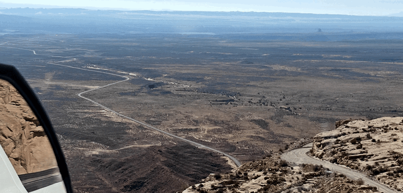
There were awesome views down into the Valley of Gods which were somewhat hazy due to the sun being on the wrong side but we took photos anyway:
Here is the link to more photos our drive up and down these switchbacks:
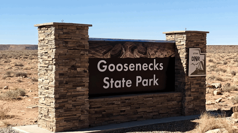
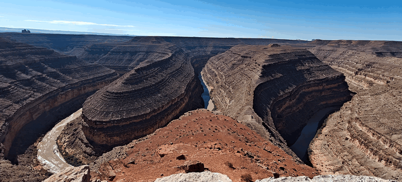
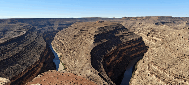
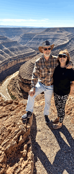
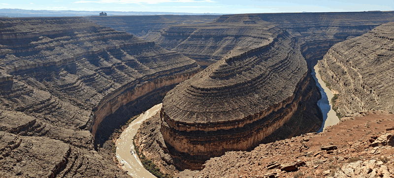
One more stop today: the Goosenecks state Park. This is a Utah park not a national one so we had to pay an entry fee – a whole $5 per car!
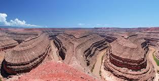
You can’t quite see the entire oxbow from the ledge as you can’t see all the way down to the water right below but it’s fantastic anyway. We took a video pan:
We walked the rim some and took a few pictures:
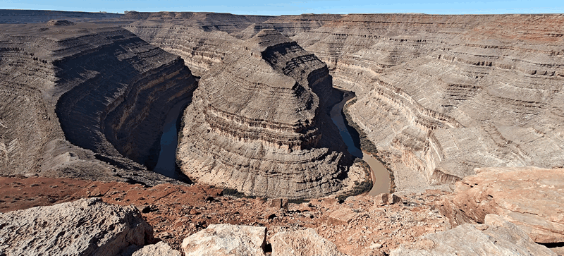
 We could see people below doing a boat trip on the river:
This is the link to the photos of the goosenecks.
We were back at the trailer around 1pm, Doug hitched us back up while Fran made oatmeal and we chilled all afternoon. We have no services here except a super 5G Verizon signal so Fran’s data works but not Doug’s. Fran worked on lots of photos and tried to catch up.
Today got pretty warm compared to the past few days – hit 29C / 85F but it’s supposed to start cooling again tomorrow.
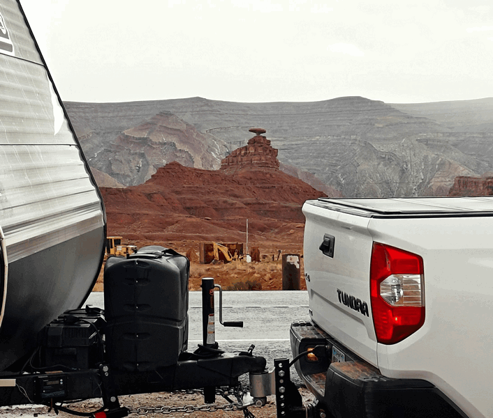
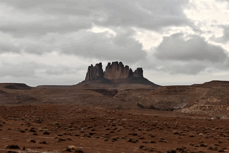
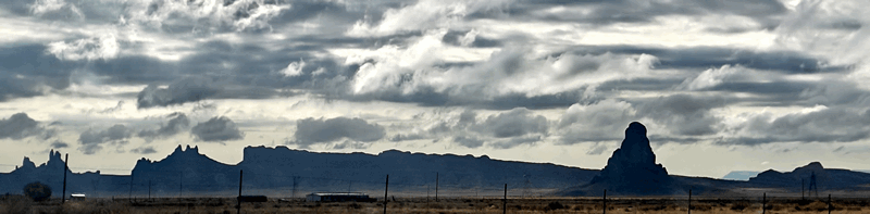
It was a warmer night than we’ve become accustomed too so the Fantastic Fan came out in the late afternoon and Fran used her fan for sleeping. Doug went out for his run and the rain started, on and off hard, and the sky remained cloudy. We left our camp spot passing Mexican Hat: (which we could actually see from our campsite in the distance last night)
pics and crossed the state line back into Arizona (we left Arizona Sept 12th) passing by Monument Valley. Views were obscured by the low clouds but we still took some photos:
![]()
We arrived in Kayenta, Arizona for cheap petrol ($3.15) before venturing further into northern Arizona.
For the last album of photos for this part of this blog post, check here.