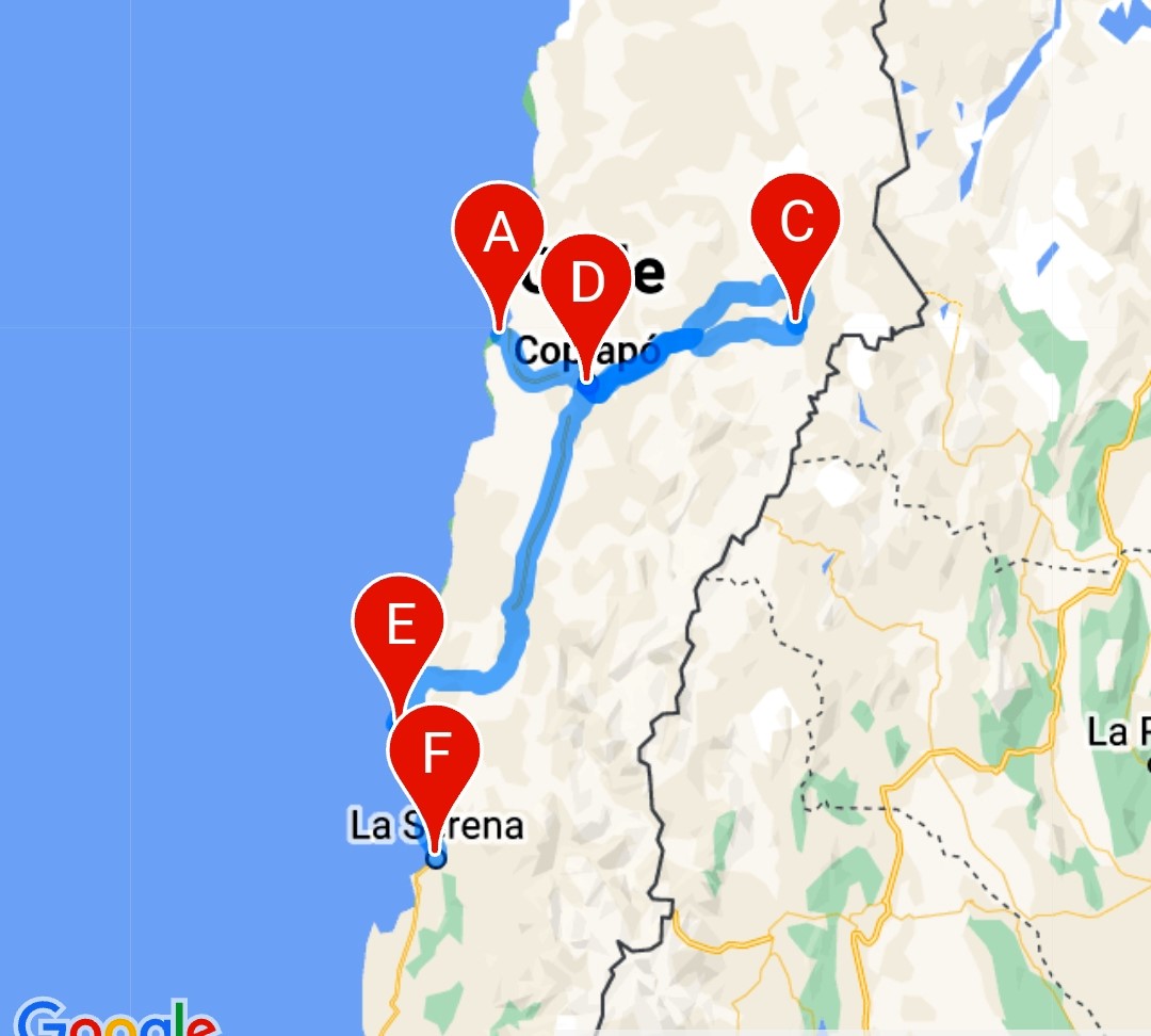
October 7th, 2018
We left Bahia Inglesa after some yoga and walking and made the short drive to the large city of Copiapó where we had a couple of stops in mind and it was the last opportunity for gas if you are heading east towards the Argentinian border (we are not going into Argentina but are headed almost to the border to Laguna Verde and Parque Nacional Nevado de Tres Cruces).
Enroute we stopped at a truckers rest area where there are free hot, yes hot, showers; felt so good as we’d been wild camping for a few days.
Copiapó is a thriving mining city and will forever be linked with the 2010 rock collapse in the nearby San Jose mine which trapped 33 miners for 70 days while the world held its breath watching.
We stopped at the local regional museum which is free on Sundays to check out a bit of history and the story of these miners. Here they have on display the Fenix 2 that was used to get them out and a number of story boards telling of the rescue as well as the original note received from the miners
 We are fine in refugio 33

There was another museum that Doug wanted to see but since we have to return this way after going east, we’ll check it out on the way back when we’ll also need to stock and gas up again.
We found the last gas station for 470 km / 292 mi (well inside Argentina) and filled up our gas tank and our three Jerry cans (as well as topping up our fresh water tank). We figure it’s enough to get us to the furthest point and back…..
We then drove out of town and eastward along what we hoped (and it turned out to be) a good road (not the two or four lane highways we’d gotten used to but a good hard pack one) and drove up to just over 2600 m / 8700’ to find a wild camp on the side of the road to acclimatize some as we’ve been at sea level about two weeks now.
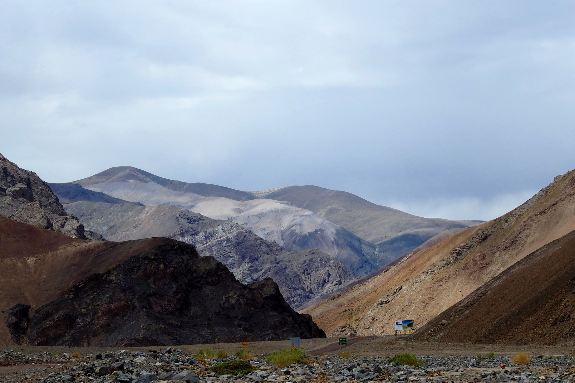
The drive along the Ruta 31 then the 601 is quite scenic – inside a former river with lots of coloured hills and mountains with desolate desert landscapes to admire. There are many small mines and private property signs – all the colours in the hills hint at a treasure trove of minerals.

Parque Nacional Nevado de Tres Cruces has two sections and we will be visiting the Laguna Santa Rosa part which is comprised of salt flats, its namesake lake and abundant grasslands at 3700 m /12,100’.
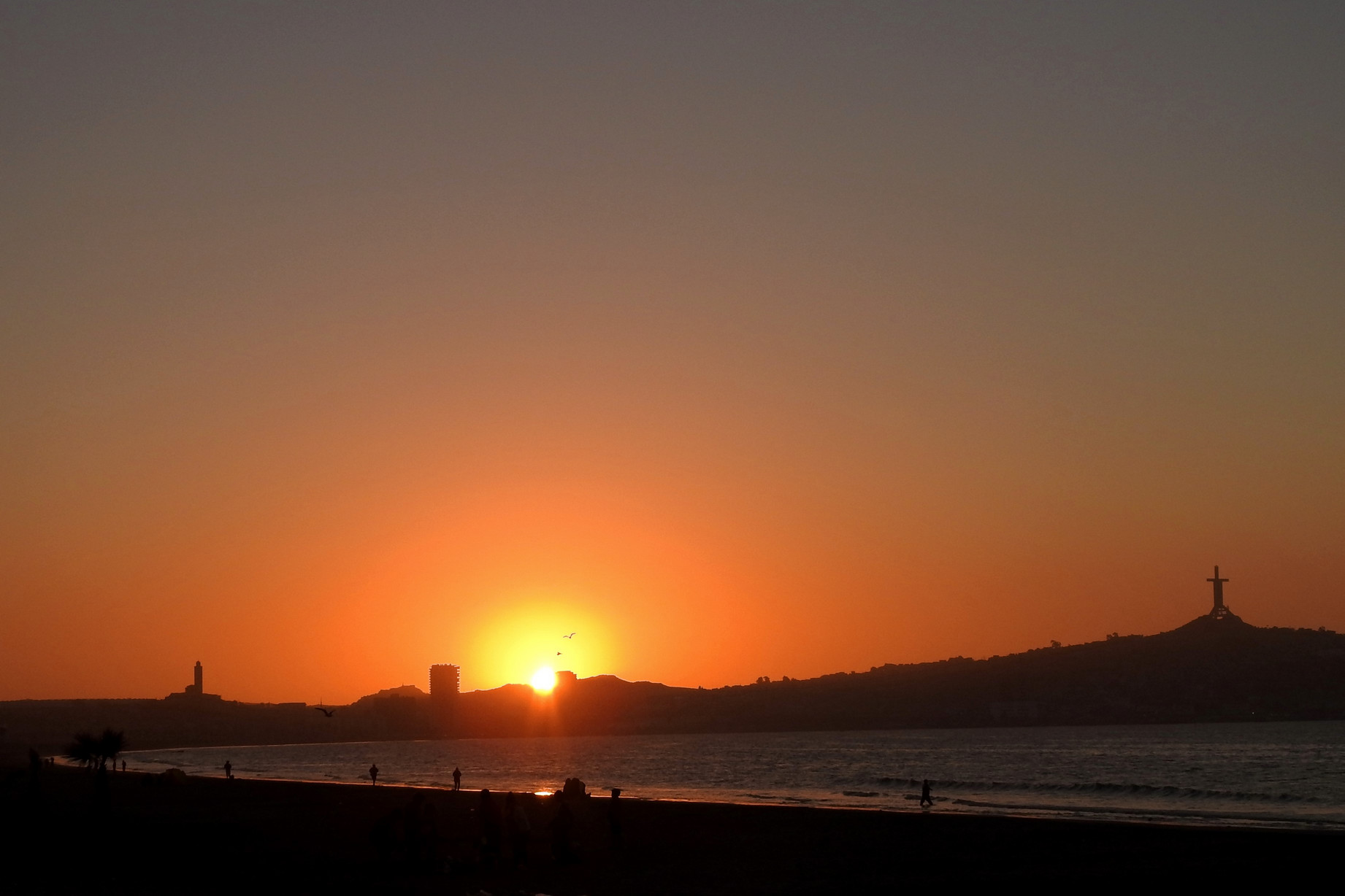
After we spent the night on the side of the 601 (it was super quiet) with no traffic after about five and even the traffic we did have was only 3 vehicles during the afternoon. Doug emptied two of the Jerry cans into the tank and we were full again – figure we should be good to get back to Copiapó unless the going gets really steep or something. The sunset was quite red over the nearby hills

And that night the stars were amazing. It rained for about ten seconds in the middle of the night – remember we are still in the Atacama so we didn’t expect much. Monday morning we continued our drive to the national park enjoying the scenery.
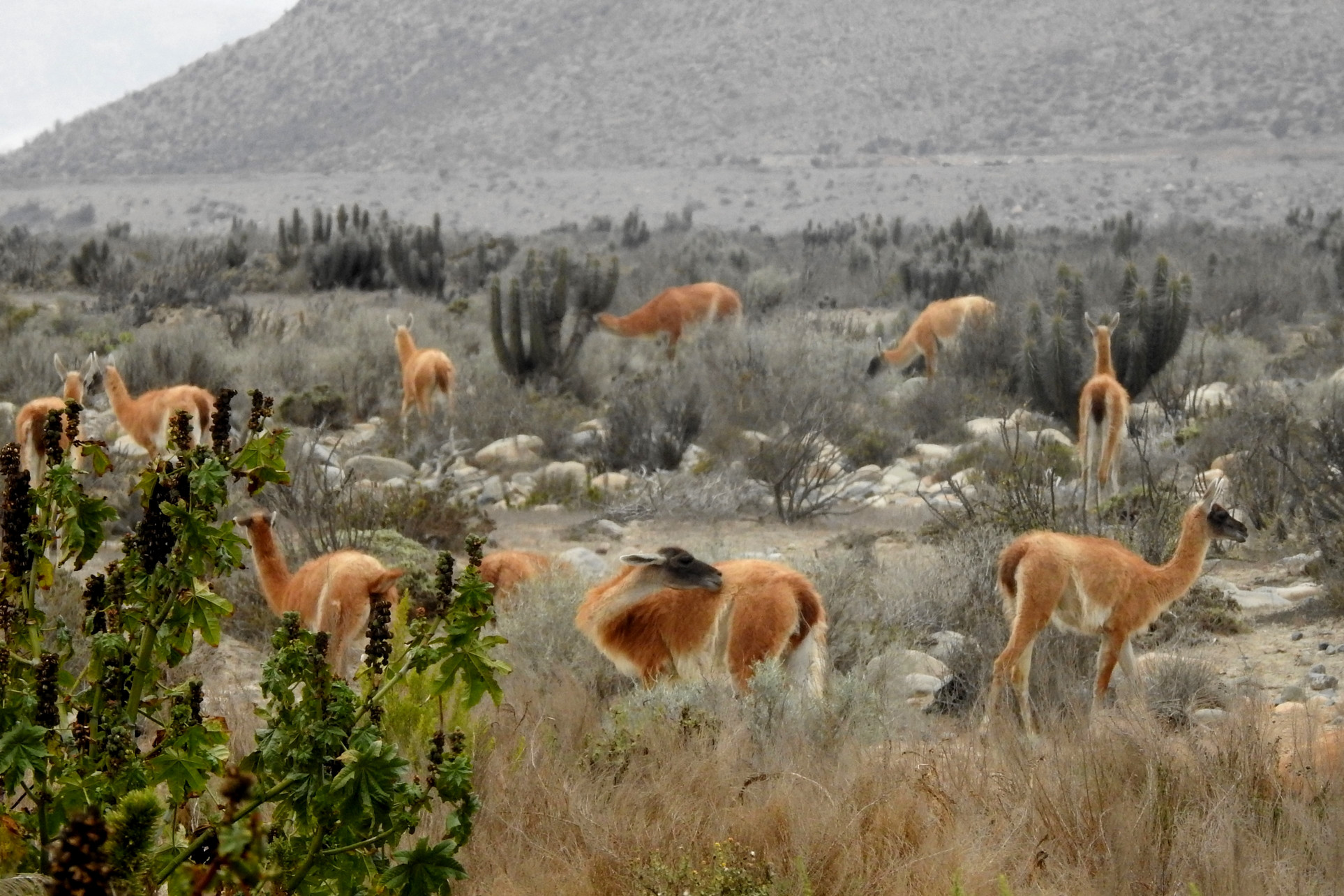
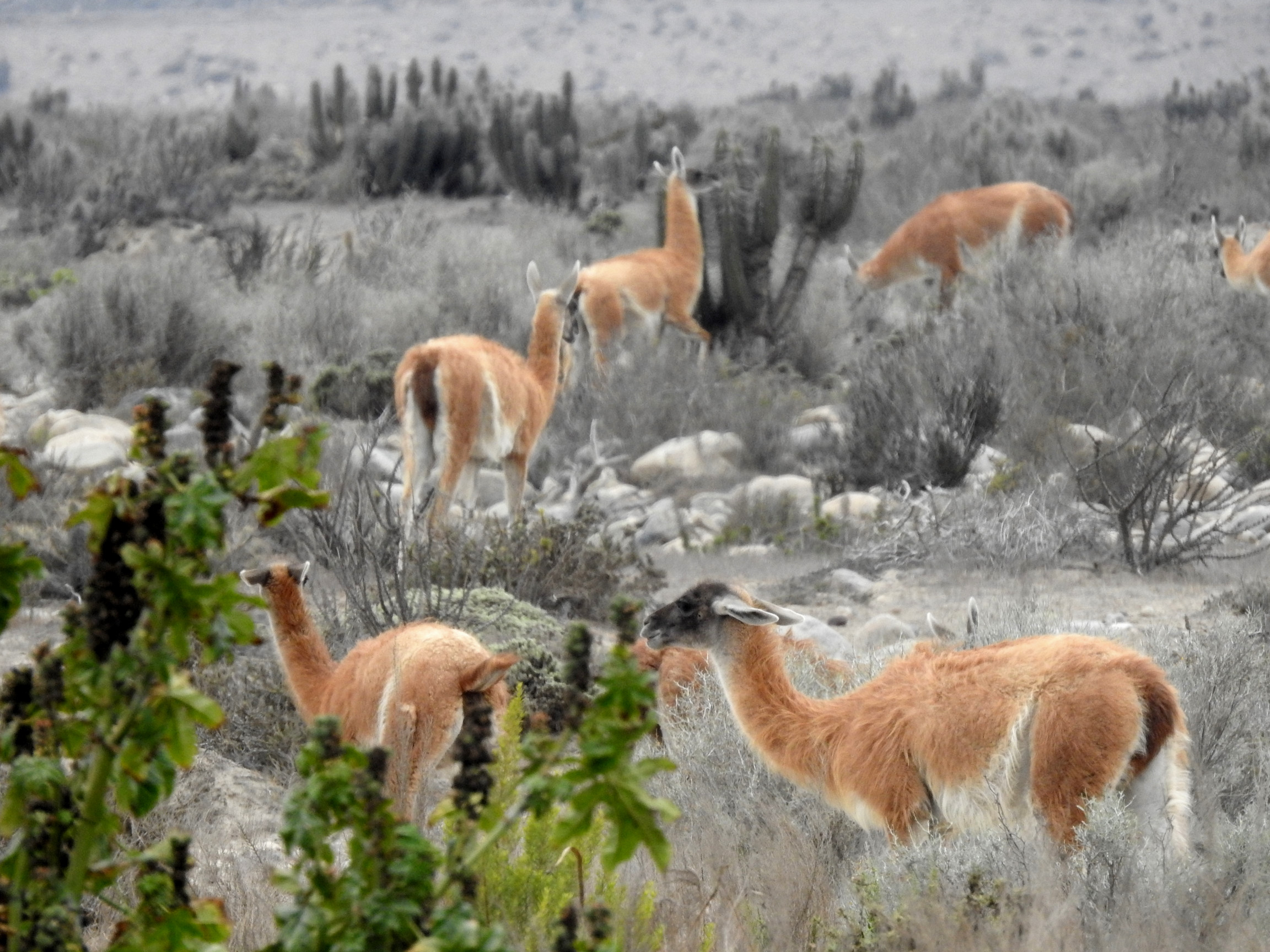
And about 20 km before the park office, we hit washboard road; yuck! About 2 km before reaching the lake, we saw about 7-8 guanacos.

We stopped at the office and they said “no charge” again! Anyway we enjoyed the lake views surrounded by mountains and saw many flamingos here too.
Laguna Santa Rosa is at 3800 m / 12,500’ and it’s cold up here; dropped to almost freezing. We met a young French couple on a tour here.


After speaking to their guide about the road to Laguna Verde, we were happy to hear it was better than the last bit we’d just been on and continued on our way (we’d rather not sleep up high so we want to get there and then get lower all in one day).
Just before the highway, we began to drive in view of the salar of the lake; nothing like Uyuni, but nice to see in the sunshine anyway.
There was a nice lookout over a waterfall too:


The 601 reaches the 31 again and the road was paved all the way to the lake however, we kept climbing and actually encountered a lot of snow! At 4600 m / 15,000’ it was on the road!

 The scenery around us was filled with snow capped and covered mountains and volcanoes. That few drops of rain we had last night seems to have dropped a lot of snow in this area.

The temperatures dropped below freezing and we began to fear for our hot water heater – we ran some water through the lines at different times and it all seems good….
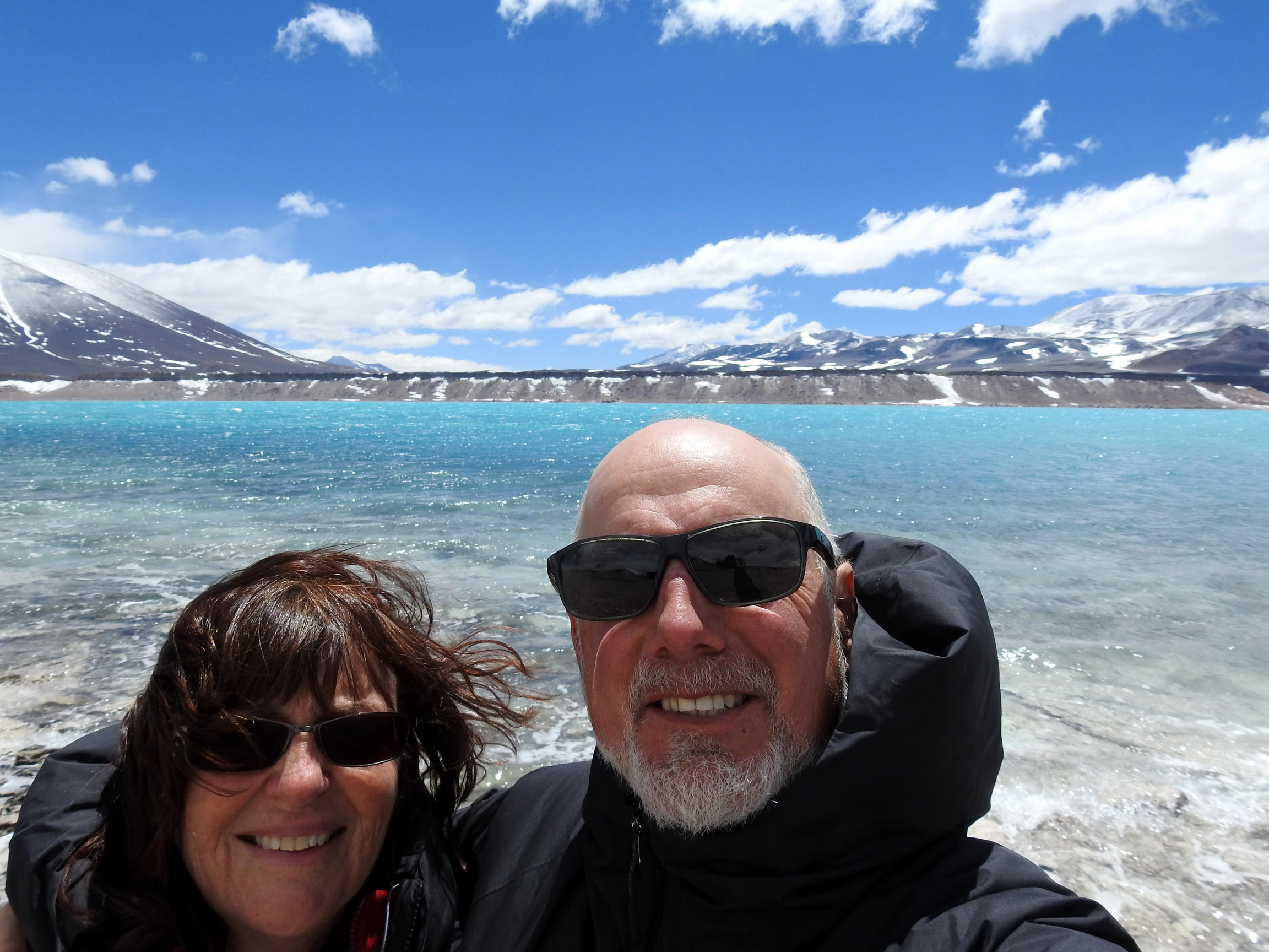
Laguna Verde is shortly before the border and sits at 4325 m / 14,100’. There are some rustic hot springs here on the turquoise lake and from here you can see the second highest peak on the continent, Ojos de Salado with an elevation of 6887 m / 22,500’. It is the world’s highest active volcano with its latest eruptions in 1937 and 1956.
Then we saw this:

And arrived at the misnamed Laguna Verde – it’s actually turquoise and quite a sight; we’d couldn’t remember seeing another like quite so turquoise ever; Moraine Lake in Alberta comes close but this lake has NO people on it or around it so it beats that we think.
There are hot springs here with pools but after feeling the merely lukewarm water, we passed on getting into swimsuits. Besides the pools are inside a hut so you don’t even get to enjoy the view.
We left the lake – it was around freezing here and super windy – and began the drive back; this time we would stay on the 31 the entire way so we were hopeful for pavement and easy driving so our gas would stretch….
Along this road, you pass by Chilean customs – Laguna Verde is close to the Argentine border and this would be where you get your vehicle permit if you had just crossed the border. Right after that the road turned to dirt; darn! We went quite a ways up for a while and near the top we came across two Andean foxes:


The road began to descend and we began coasting out way back to the paved portion of the road and then pulled off in a rest stop where our only company were two ducks and a herd of horses/ donkeys and we spent the night there. We are now back down to 2500 m /8200’ and we are more comfortable. At 4600 m you struggle to eat and breathe at the same time! 🙂
We arrived in Copiapó on Tuesday morning, went to get the muffler hanger fixed (again!), went shopping and had lunch at the mall food court, picked up a few things at the hardware store before stopping at the Mining Museum in Tierra Amarillo

where Doug went in to see the rocks on display and then headed to a gas station/truck stop for the night. We arrived around 3, had showers and did laundry. Being a truck stop it was not the quietest place to sleep so one night was enough.
Wednesday we awoke in the fog but as we headed south it disappeared suddenly. We stopped for gas once to top up before making it to the coast and as we climbed a long slow hill, Tigger acted up a bit but never died and we just treated it gently and had no further issues.
As we approached the ocean, we came upon foxes again; we saw five in total but only managed one snapshot:

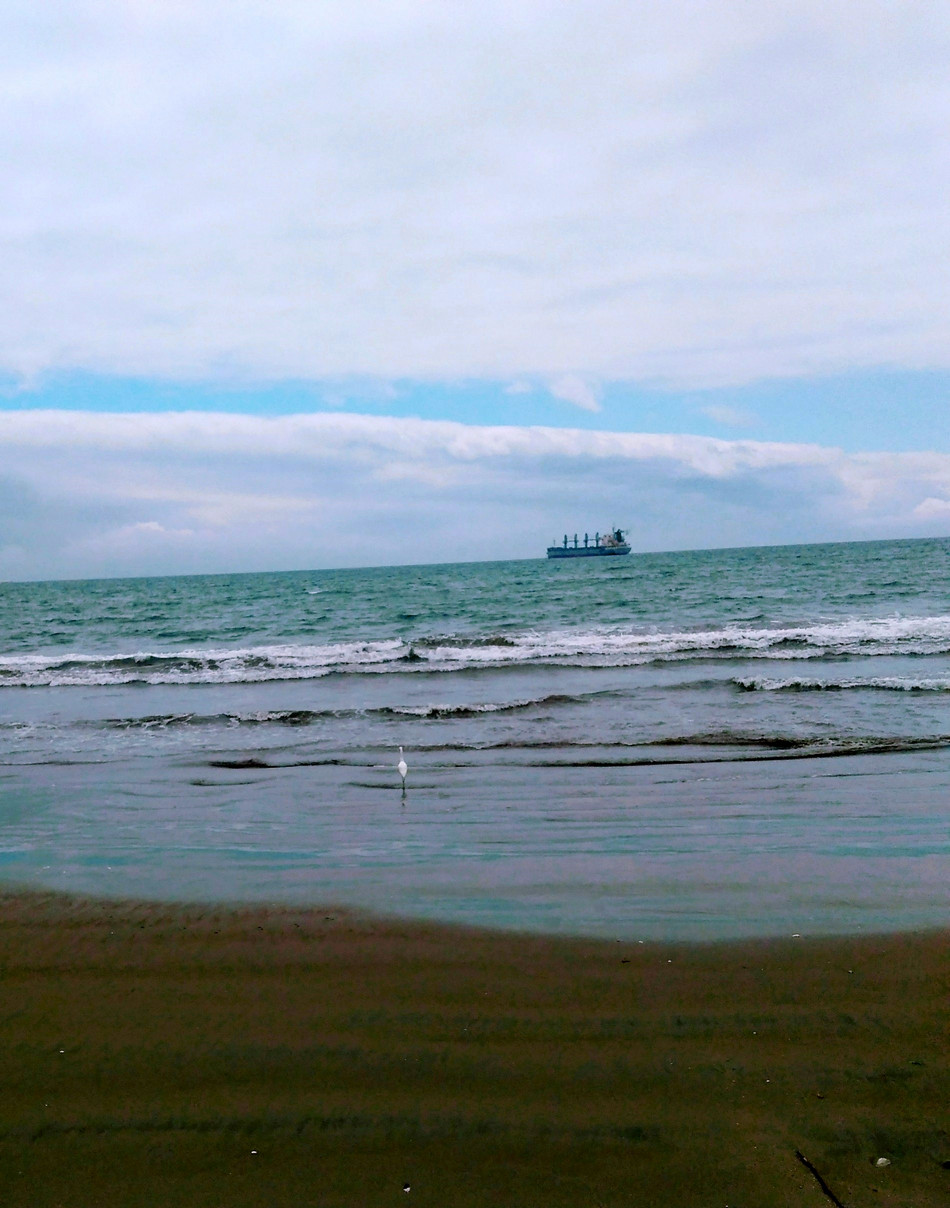
We made it back to the ocean to a little village named Punta de Choros where they have boat tours to the Humboldt Penguin national reserve. We’d read that tours are offered Wednesday thru Saturday and upon checking the park office, learned that the sea was too rough and there’d be no tours until Saturday; it’s actually mostly cloudy here today and a little on the cool side. You can tell it’s the off season as most hotels/camps and restaurants are not open. This village is quite small but there is free parking at the dock right next to the ocean so we settled in for three nights. It’s actual nice to have a few days of no driving; turns out there’s good free municipal WiFi here so we’re catching up.
Thursday was overcast, windy and cool. We did chores, walked and hung around chillin’.
Friday we awoke to somewhat clearing skies and lo and behold the ticket office for the boat tours opened today around 9 am. Doug went over and we got the first two seats on the boat that would go out, once they had ten passengers. The sky continued to clear and by around eleven, we were on our way; actually three boatloads departed at about the same time.
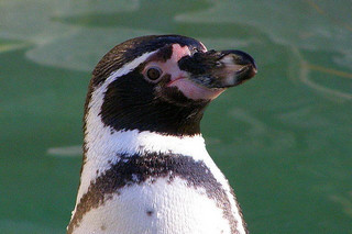
The Humboldt Penguin National Reserve was created on January 3, 1990, and encompasses three islands: Choros, Damas and Chanaral. Birds are the most abundant fauna and among them is the Humboldt penguin which is endemic to the Humboldt current and which gives them their name; they nest on these islands. Other birds include: pelicans, Peruvian Boobies and Yuncos (petrals). Marine mammals are represented by bottlenose dolphins, sea lions and chungungos (a type of marine otter) and the sporadic presence of whales and sperm whales in season.
The Humboldt penguin (also termed Peruvian penguin or patranca) is a South American penguin that breeds on the coast of Chile & Peru. The species is endangered.
Humboldt penguins are medium-sized penguins, growing to 56–70 cm (22–28 in) long and a weight of 3.6-5.9 kg (8-13 lbs). They have a black head with a white border that runs from behind the eye, around the black ear-coverts and chin, and joins at the throat. They have blackish-grey upper parts and whitish underparts, with a black breast-band that extends down the flanks to the thigh. They have a fleshy-pink base to the bill. Juveniles have dark heads and no breast-band. They have spines on their tongue which they use to hold their prey.
Humboldt penguins nest on islands and rocky coasts, burrowing holes in guano and sometimes using caves and its range overlaps that of the Magellanic penguins of the central Chilean coast.
(Boats here only go to Choros and Damas islands – to go to Chanaral, you need to go further up the coast and the boat ride can take up to three hours as it is much further off the coast.)
The crossing to the islands took about 35 minutes and then we hugged the shoreline of Isla Choros for about 45 minutes looking for wildlife.
We saw: Humboldt penguins (not easy to take pics in a moving boat on the ocean but we managed a few)


Peruvian boobies


Different species of cormorants


Pelican:

Seals

Yuncos – a kind of petral which is endangered; could never quite get a photo of these birds that fly across the water so this is “borrowed” from the web

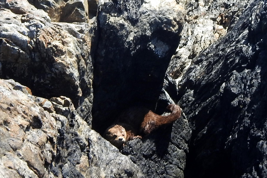
Sea otters – that also never stand still but did manage to get the head and tail of two crawling around on some rocks
and a picture we stole online:

Then it was off to Isla Damas which is more known for it’s flora and here we could disembark and wander for about 45 minutes. We chose to do the 1.8 km trail

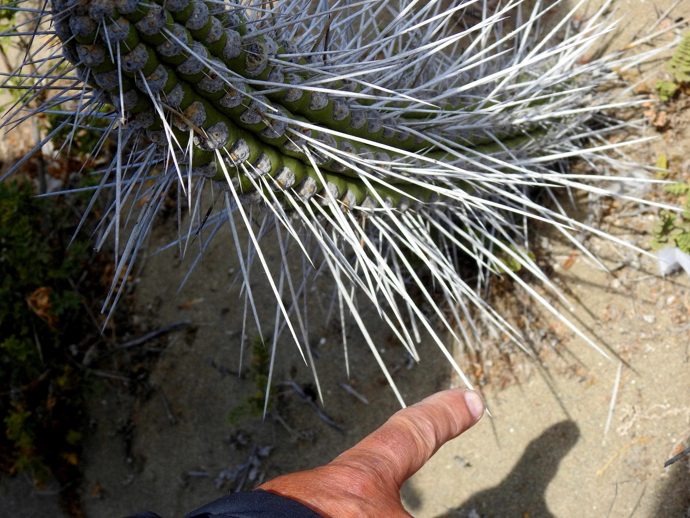
and saw many types of cacti


And lots of sea gulls and small birds and lizards – the latter two never stool still long enough for pics though.


This island has white sandy beaches


And a lighthouse.


We boarded the boat again and made our way back to Punta de Choros arriving just after three. We went for some lunch and decided to stay one last night at the dock as it was free and the WiFi was good. The little kiosks at the dock all closed by 4 as the tourists were all gone and we had another quiet night.
So Saturday morning began with cloudy skies again and we left Punta de Choros. As we reached the riverbed we had to cross, a herd of guanacos crossed the road below us and hung around a bit as we went by.
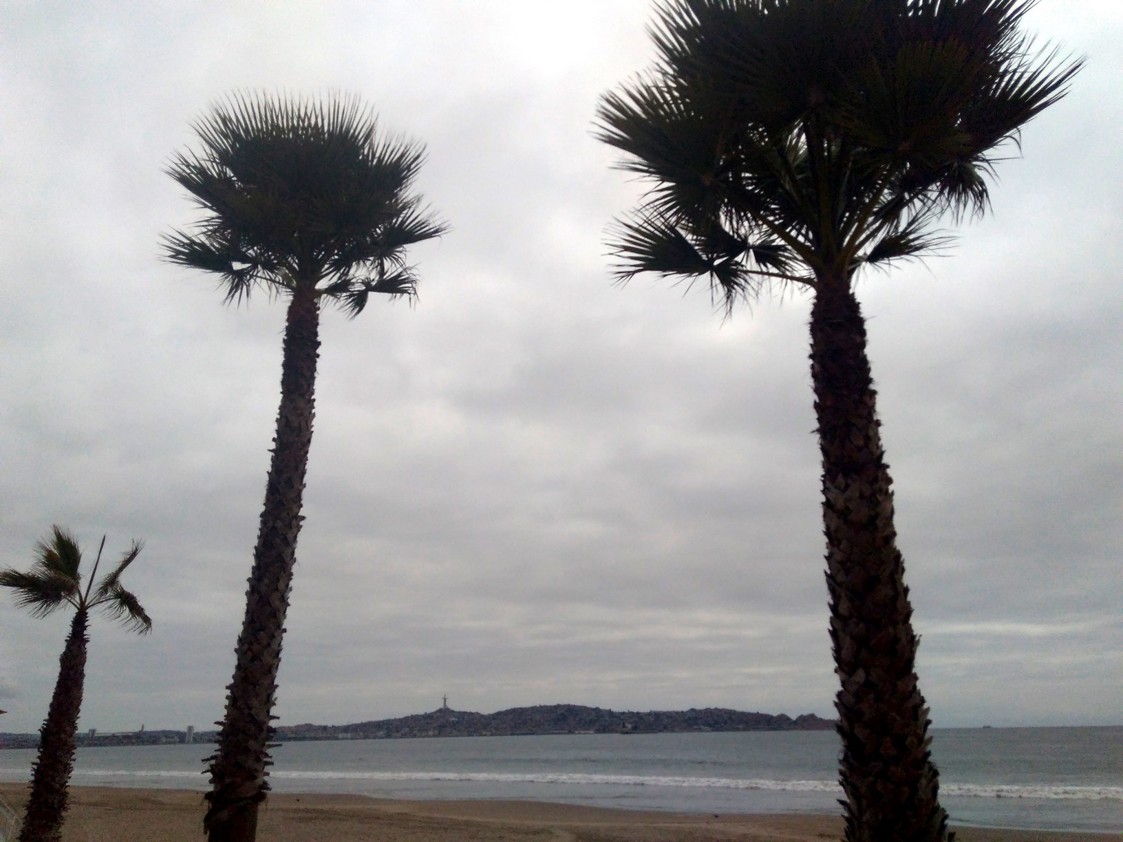
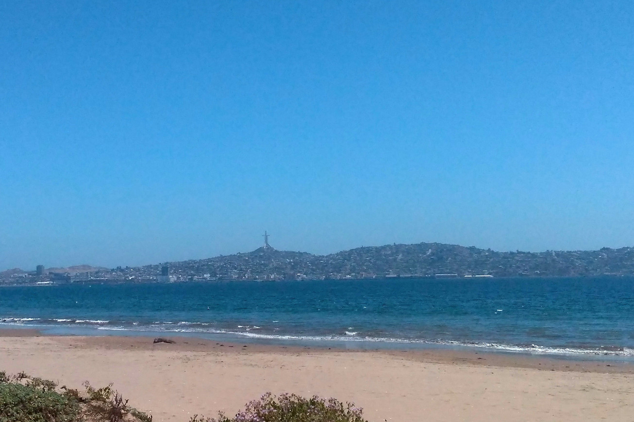
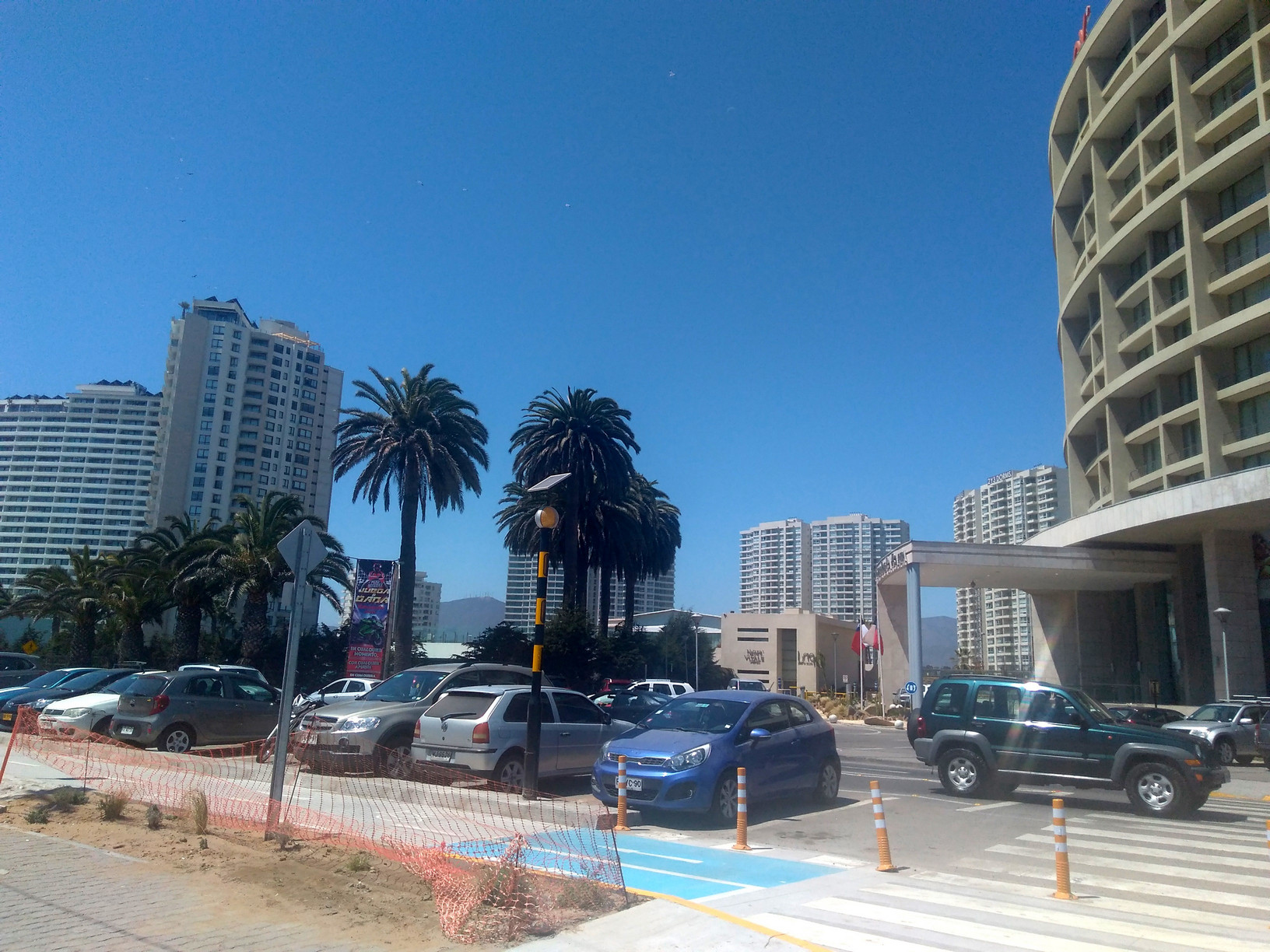
By the time we reached the large city of La Serena (named after our daughter (?) 😉 ) and did some shopping at the mall, the sun began to peek out. We arrived at our campsite just off the beach called El Huerto – what an organized campground this is: covered camp spots (which we just fit under but we seem to be having an electrical issue as every time we turn our transformer on, we blow the circuit! This happened in Iquique but we thought it was their power; now we know – darn!). We’ll have to have it looked at so we parked outside our “palapa” and ran an extension cord into Tigger to keep a few things powered up that can run on 220 (laptops mainly). The camp spots come with a bbq, a picnic table and shelves. Each spot has its own private bathroom that you get a key for. It’s not located at the site but there is a building with about 20 “bathrooms” and you get a toilet, sink & shower with hot water for your own use. There is also a large area with sinks for dish washing and more for clothes washing. The place has WiFi as well and it works pretty good. Best part: right across the road is the beach!
By the time we set up the sun was fully out and it began warming up. Fran went for a shower (it’s been three days) while Doug went for a walk first. We are the ONLY campers here and it’s Saturday so you know this is off season. It’s not cheap camping ($24 a night) but we’ve had about ten days of wild camping so we’re not complaining too much (and of course, by Canada/US standards, it’s still cheap!)
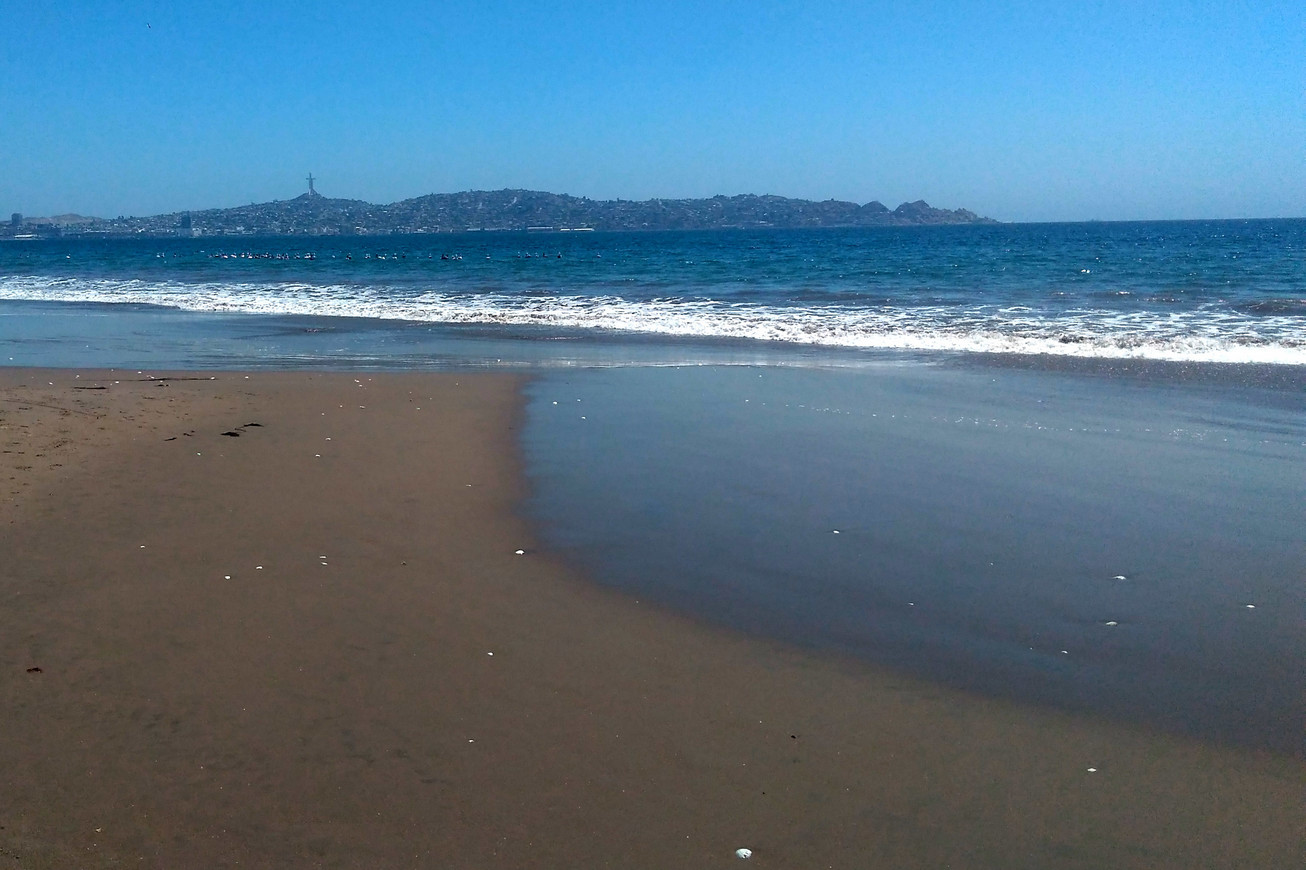
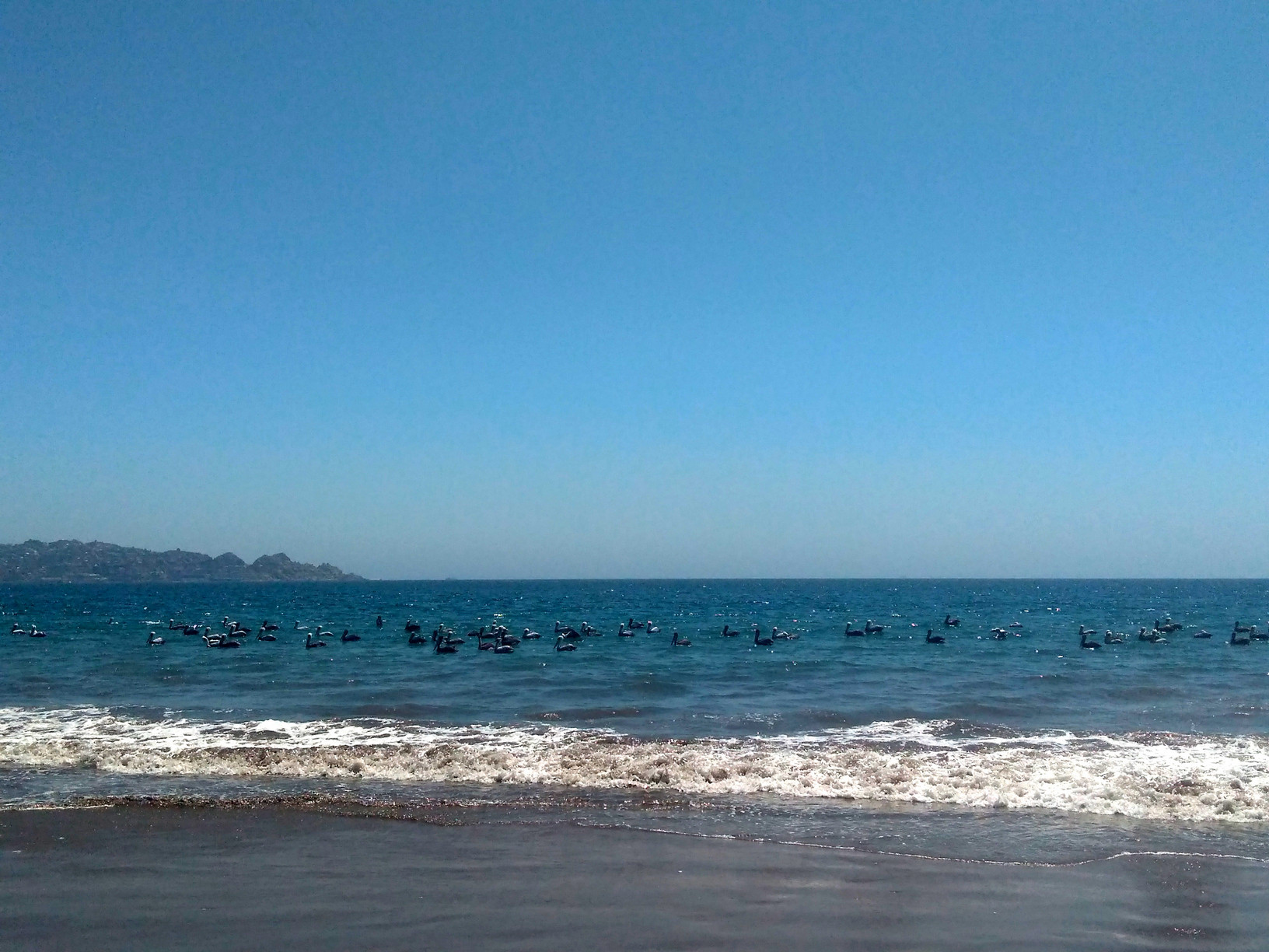
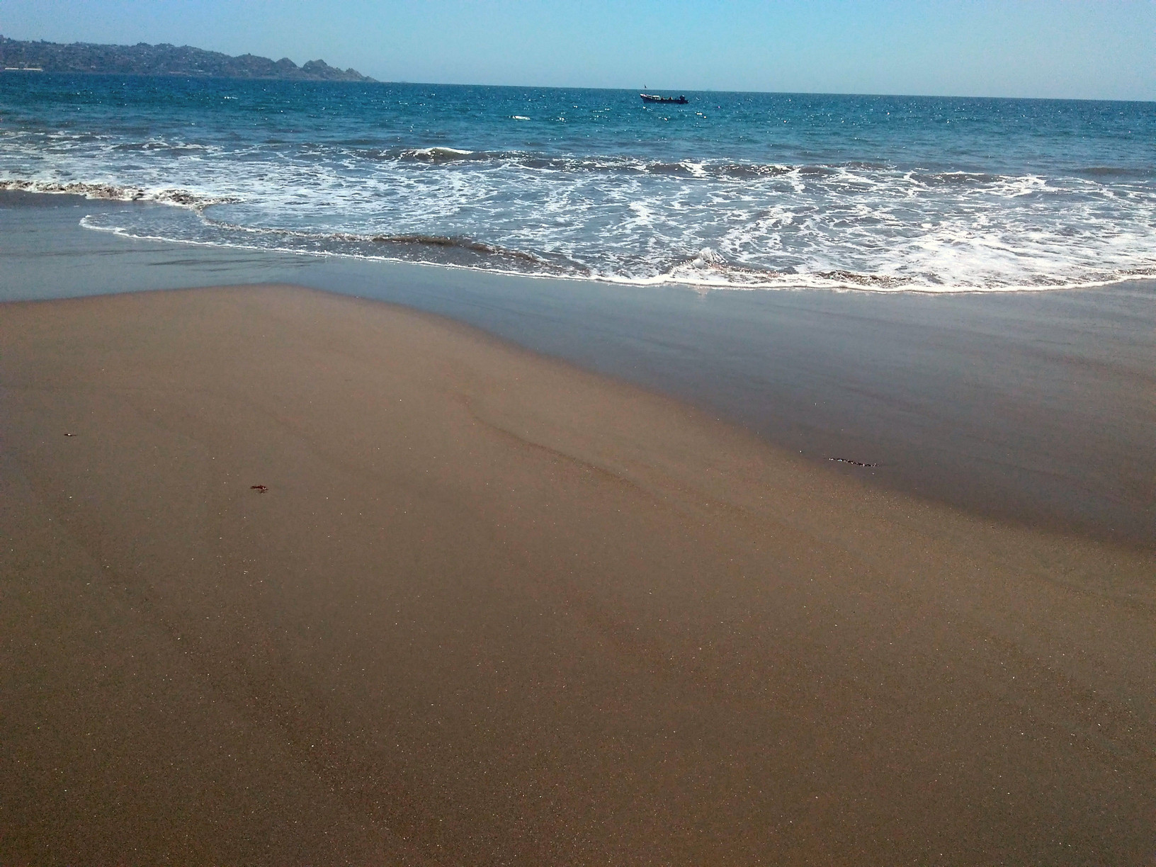
Sunday we awoke to clear skies and what a beautiful day it was for walking along the beach. The beach is quite lovely and long with nice sand and a good hard pack near the water for walking without getting your feet wet in the cold water. (photos are not great; taken with Fran’s camera phone)
It warmed up to the high teens C / high 60’sF and we enjoyed walking then siting in the sun reading. We did take a couple of beers across the road to the beach for sunset but didn’t stay long as it cooled off a lot after the sun disappeared.
La Serena does not offer much to the tourist in the off season and there are really no must see sites in the city so we’ve opted to skip going downtown although on Monday (when we awoke to clouds again) Doug did walk there to check out the office for an observatory tour to see telescopes on Saturday (you have to book ahead); unfortunately, we learned today was a holiday so nothing was open.
Tuesday, we decided we’d hang more more day and Doug called the observatory office instead and we were told they are fully booked through November! There is a waiting list and we put ourselves on it hoping that on Friday afternoon, there’d be a cancellation so they could fit us in.
We then called another observatory that allows you to do evening star tours and got a reservation for tomorrow night and then yet another one for a day tour to see the sun on Thursday. So we head east to Vicuña and the Elqui Valley.